Examining Brazil’s Successful Efforts to Reduce Deforestation Through Satellite Imagery
FOS Affiliate Eduardo Souza-Rodrigues discusses the impact and future improvements of Brazil’s satellite-based deforestation policies.
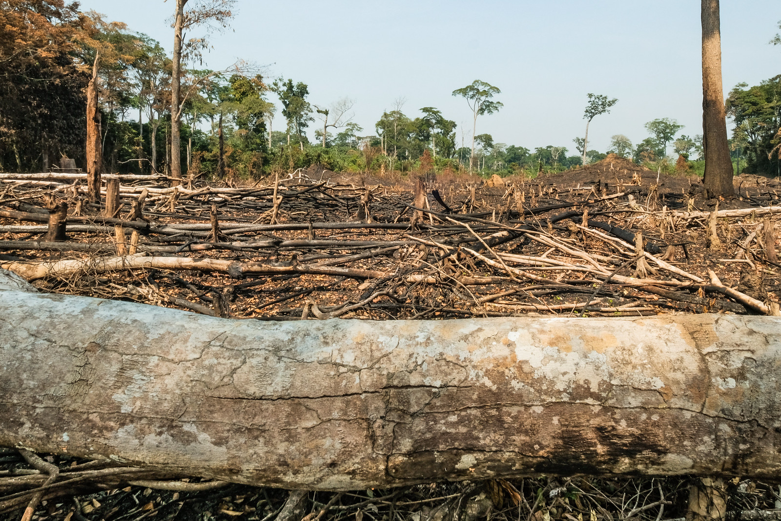
In 2004, deforestation in the Amazon rainforest was so rampant, an area the size of the state of Massachusetts was lost in that year alone.
Efforts to combat deforestation were outdated and time-consuming with Brazil’s environmental protection agency relying on patrols by plane or boat — not terribly effective or efficient, considering the rainforest’s massive size.
Marina Silva, a politician and environmentalist who served as Brazil’s minister of the environment and climate change, sought to change this.
Silva — who was born in the Amazon to a family of rubber tappers — devised a plan of preserving the rainforest using satellite imagery on a regular basis in 2005.